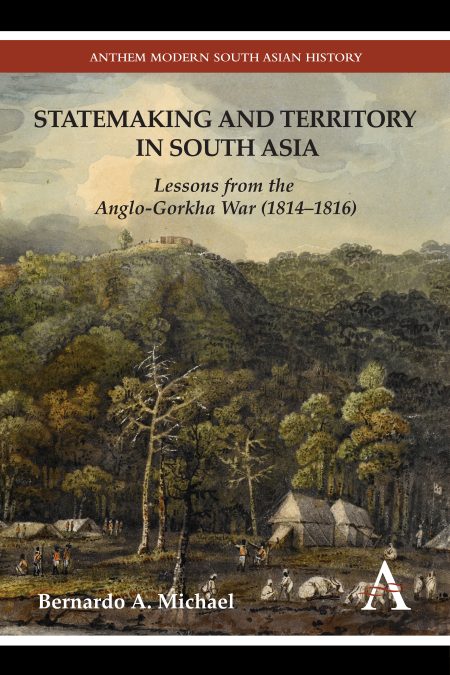
Statemaking and Territory in South Asia
Lessons from the Anglo–Gorkha War (1814–1816)
Bernardo A. Michael
Select Format
Title Details
- ISBN: 9780857285195
- December 2012
- Pages: 250
- Imprint: Anthem Press
How did European colonization transform the organization of territory in South Asia? “Statemaking and Territory in South Asia: Lessons from the Anglo–Gorkha War (1814–1816)” seeks to connect two historical junctures at which the idea of the modern state as a geographically discernible and territorially circumscribed entity emerged in colonial South Asia.
The volume first examines the territorial disputes that emerged along the common frontiers of the Himalayan kingdom of Gorkha (present-day Nepal) and the English East India Company that eventually led to the Anglo–Gorkha War of 1814–1816. The volume argues that these disputes arose out of older tribute, taxation and property relationships that left their territories perpetually intermixed and with ill-defined boundaries. Following the war, the British sought to end this territorial illegibility by defining the joint boundary of the two states, rendering it linear and distinct.
Secondly, the volume also reveals the long-drawn-out process whereby the colonial state, through various cartographic projects and changes in administrative routines, attempted to rearrange its internal administrative divisions in an effort to create the geographical template of the modern state. This template would occupy a definite portion of the earth’s surface and with non-overlapping divisions and subdivisions.
Bernardo A. Michael is an associate professor of history at Messiah College in Pennsylvania, where he is also the Special Assistant to the President and Provost, for Diversity Affairs.
List of Maps, Plates and Tables; Acknowledgments; Abbreviations; Chapter 1: Statemaking, Cultures of Governance and the Anglo–Gorkha War of 1814–1816; Chapter 2: The Agrarian Environment and the Production of Space on the Anglo–Gorkha Frontier; Chapter 3: The Champaran–Tarriaini Frontier; Chapter 4: The Gorakhpur–Butwal Frontier; Chapter 5: The Disjointed Spaces of Precolonial Territorial Divisions; Chapter 6: Making States Legible: Maps, Surveys and Boundaries; Chapter 7: Conclusion; Glossary; Notes; Archival Sources; Bibliography; Index
“Trenchant and meticulously researched, Michael’s book tells the story of how the East India Company established its northern Indian boundary. A must-read for anyone interested in state formation, cartographic history, and the creation of colonial territory.” —Dr Ian Barrow, Department of History, Middlebury College, USA
“Bernardo Michael has produced a remarkable book, one that expertly weaves histories of colonial governance, cartography and agrarian practice. In tacking between colonial, national, regional and local archives, Michael is able to explore in remarkable detail the intensely local struggles in the Anglo–Gorkha borderland waged around agrarian entitlements and the fluid and elastic notions of territory that held sway. Theoretically innovative and deeply grounded, this is spatial history at its best.” —Raymond Craib, author of “Cartographic Mexico: A History of State Fixations and Fugitive Landscapes” and Associate Professor of History, Cornell University
Related products
-
-
Portuguese and Amsterdam Sephardic Merchants in the Tobacco Trade
Tierra Firme and Hispaniola in the Early Seventeenth Century
Yda Schreuder
January, 2023
£110.00 / $110.00 -
Muhammad Ali in Africana Cultural Memory
Edited by James L. Conyers, Jr., Christel N. Temple
January, 2022
£125.00 / $125.00 -
Affect and Realism in Contemporary Brazilian Fiction
Karl Erik Schollhammer
December, 2020
£125.00 / $125.00 -
The Life and World of Francis Rodd, Lord Rennell (1895-1978)
Geography, Money and War
Philip Boobbyer
January, 2021
£125.00 / $125.00 -


